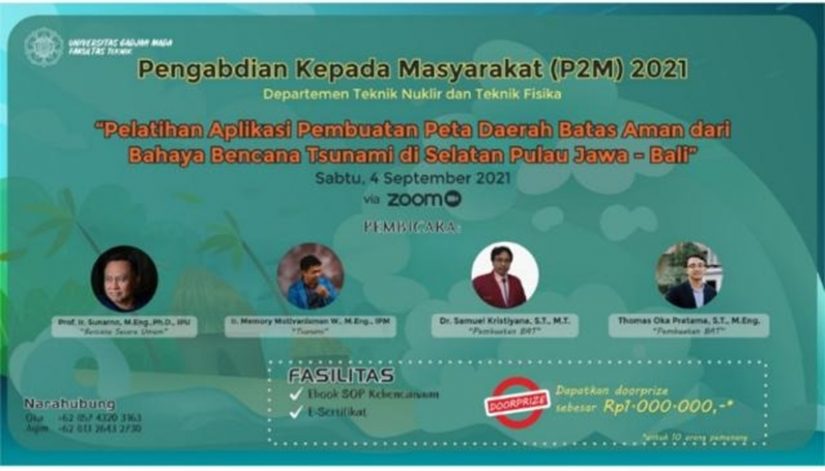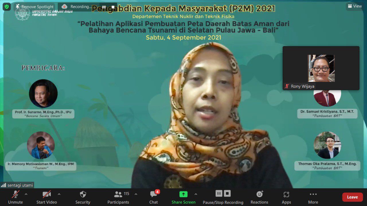
On September 4, 2021, Community Service activities were carried out, chaired by Prof. Ir. Sunarno, M.Eng., Ph.D. IPU. Community Service Activities are conducted with online training on “Training for Making Safe Boundary Areas from Tsunami Disasters in Southern Java – Bali”. The activity was attended by 150 participants: lecturers, educators, volunteers, scouts, ORARI, RAPI, BNPB, BPBD, government institutions, and communities on the southern coast of Java and Bali.
The current tsunami disaster is a phenomenon that is a frightening specter for the world community, especially for people living in coastal areas. This was triggered by the largest tsunami in modern history on December 26, 2004, which affected a very wide area covering Southeast Asia, South Asia to East Africa. Until the last tsunami disaster in Japan, a tsunami as high as 10 meters devastated the east coast of Japan. The tsunami that hit Miyagi Prefecture is similar to Aceh’s on December 26, 2004. The tsunamis in these two areas are similar but not the same. Both started with an earthquake of more than 9 on the Richter scale that triggered a tidal wave. The wave height in Aceh reaches 14-32 meters. Meanwhile, the tsunami wave height in Miyagi Prefecture and its surroundings is estimated at 6-14 meters. The fear of the tsunami then spread to all coastal areas of Indonesia.
One effort that can be made is to estimate the areas affected by the tsunami based on the tsunami models that can be made. These models are based on the significant earthquakes in the region. With this estimate, the boundaries of areas that are not affected by the tsunami inundation or safe areas will be obtained. In addition, possible evacuation opportunities can be identified by paying attention to the distribution of the population and secure areas as evacuation sites. The Community Empowerment Service activity continues the previous tsunami-safe area mapping activity.
This social service activity focuses on Application Training for Making Maps of Safe Boundary Areas from Tsunami Hazards in the South Island of Java – Bali. The applications used in this training are mobile radio and MapSource. By using this application, the boundaries of areas that are safe from tsunami hazards can be mapped based on their heights. This activity trains the volunteers or agencies to design a tsunami safe boundary map for their respective regions as one of the mitigation measures against the tsunami hazard to reduce casualties.
For more Information and collaboration, please contact:
Prof. Ir. Sunarno, M.Eng., Ph.D., IPU
Department of Nuclear Engineering and Engineering Physics, Universitas Gadjah Mada
Jl. Grafika No.2, Sinduadi, Mlati, Sleman, Daerah Istimewa Yogyakarta, 55281
Indonesia
Email: sunarno@ugm.ac.id
Documentation


